
What Goes Into a Land Survey? From Fieldwork to Certificate
When you hire a licensed land surveyor, you're paying for much more than someone walking around your property with equipment. A professional land survey involves extensive research, precision fieldwork, and the creation of a legally binding document that protects your property rights. Here's a look at everything that goes into the surveys we perform at Compass 360 Surveying.
Phase 1: Research and Preparation
Before we ever set foot on your property, significant work happens behind the scenes. This research phase is critical to an accurate survey:
- Deed research: We examine your property deed and the deeds of neighboring properties to understand the legal descriptions and history of the land
- Plat review: We study recorded subdivision plats, previous surveys, and any other documents on file with the county recorder
- Title search: We identify any easements, rights-of-way, or encumbrances that affect your property
- Historical records: In some cases, we trace property boundaries back through decades of ownership to understand how the land was originally divided
This research ensures we understand the intent behind your property boundaries—not just what's written on paper, but what the original surveyor and property owners meant when they created those boundaries.
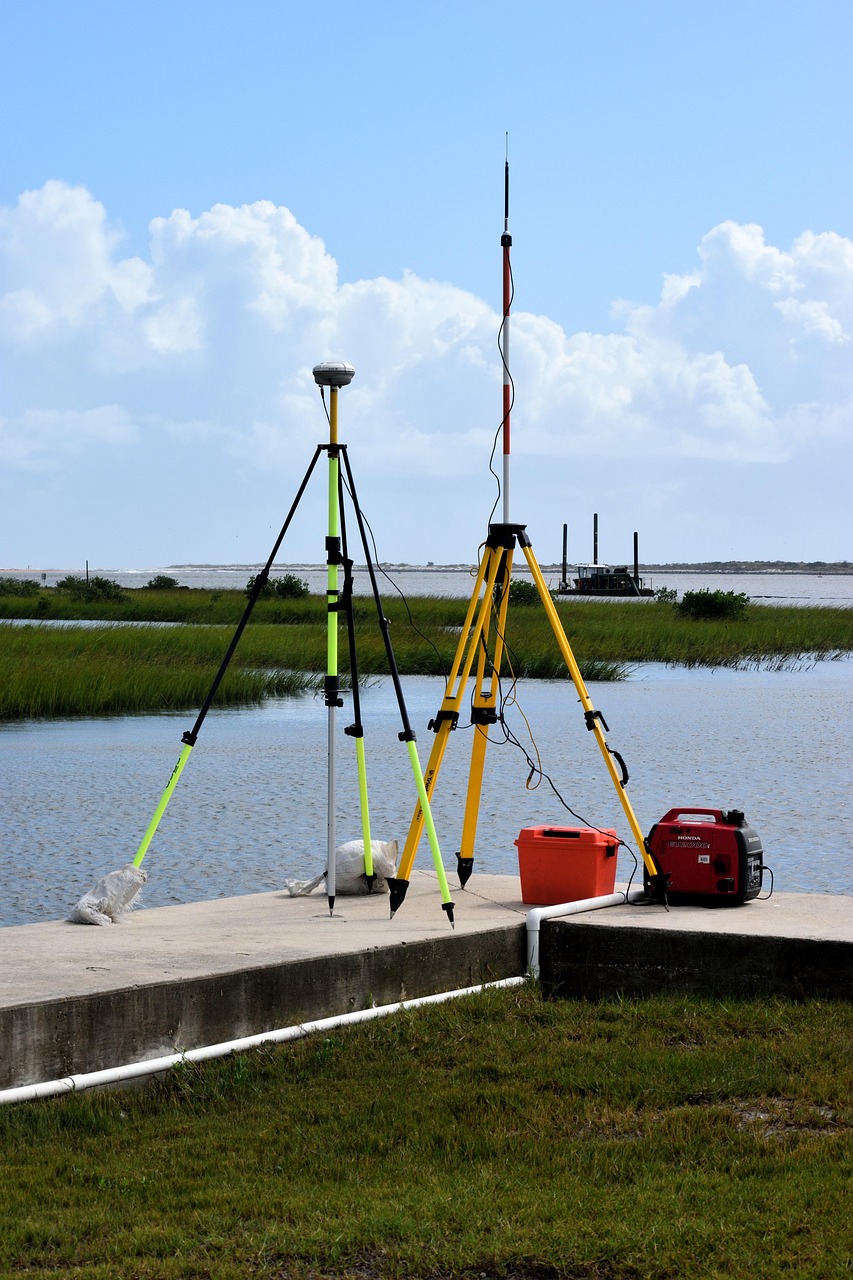
Phase 2: Fieldwork and Measurements
The fieldwork is what most people picture when they think of surveying. Our crews arrive with professional-grade equipment to locate, verify, and mark your property boundaries:
- Locating existing monuments: We search for existing property corners—iron pins, concrete monuments, stones, or other markers set by previous surveyors. These existing markers are critical evidence of your boundary lines
- GPS/GNSS measurements: Using satellite positioning technology, we achieve centimeter-level accuracy in our measurements. This modern equipment allows us to work faster and more precisely than traditional methods
- Total station work: For areas with heavy tree cover or other GPS obstructions, we use optical instruments to measure angles and distances with extreme precision
- Setting new monuments: Where property corners are missing or were never set, we calculate and set new iron pins or other permanent markers
What Are Those Markers in the Ground?
When you see the finished survey, you'll notice references to various types of monuments. Understanding these helps you protect your property in the future:
- Iron pins/rods: Metal rods (typically 1/2" to 5/8" diameter) driven into the ground to mark property corners. These are the most common type of monument we set
- Capped pins: Iron pins with a plastic or aluminum cap on top, often stamped with the surveyor's license number
- Concrete monuments: Larger, more permanent markers often found at subdivision corners or along section lines
- Mag nails: Magnetic nails set in concrete or asphalt where traditional monuments can't be placed
- PK nails: Small, durable nails with a distinctive cross pattern, commonly used in paved areas
Important tip: If you're doing any landscaping or construction, know where your property pins are and protect them! Disturbing survey monuments is actually illegal in Ohio, and replacing them requires hiring a surveyor again.
Phase 3: Data Analysis and Calculations
After fieldwork, we return to the office to analyze our findings. This is where the "survey math" happens:
- Reconciling evidence: We compare what we found in the field with what the legal documents say. Sometimes these don't match perfectly, and professional judgment is required to determine the true boundary
- Calculating areas: We compute the exact acreage or square footage of your property
- Identifying encroachments: We determine if any structures, fences, or improvements cross property lines
- Drafting the plat: We create a scaled drawing showing all boundaries, monuments, structures, and other relevant features
Phase 4: The Survey Certificate
The final deliverable—and arguably the most important part—is the official survey certificate (also called a survey plat). This is a legal document that includes:
- Scaled drawing: A professional map showing your property boundaries, dimensions, and any structures or features
- Legal description: The metes and bounds or lot/block description that defines your property in legal terms
- Monument information: Details about what markers were found and what was set at each corner
- Surveyor's certification: A signed and sealed statement by a Professional Licensed Surveyor (PLS) attesting to the accuracy of the survey
- Notes and legends: Important information about easements, setbacks, and other factors affecting your property
The surveyor's seal and signature make this a legally recognized document. It can be used in court to resolve boundary disputes, recorded with the county to establish official boundaries, or provided to title companies, lenders, and contractors who need verified property information.
Why the Certificate Matters
The survey certificate isn't just a nice map to frame—it's a legal instrument that:
- Protects your property rights: It's admissible evidence in court if boundary disputes arise
- Satisfies lender requirements: Mortgage companies and title insurers often require certified surveys
- Guides future construction: It shows exactly where you can build relative to your property lines and setback requirements
- Transfers with the property: When you sell, the survey provides valuable documentation for the next owner
Our Commitment: 15-Day Turnaround
At Compass 360 Surveying, we understand you need your survey completed quickly to keep your project moving. That's why we guarantee a 15-business day turnaround from accepted quote to finished survey certificate. While other surveyors may have you waiting for weeks or months, we're committed to getting you accurate results fast.
Related Resources
Learn more about the different types of surveys we offer:
- Boundary Surveys vs ALTA Surveys: What Property Owners Need to Know
- How Much Does a Land Survey Cost?
- Residential Boundary Surveys in Ohio
- Commercial & ALTA Surveys in Ohio
Ready to Get Started?
Now that you understand what goes into a professional land survey, you can appreciate why it's such a valuable investment in your property. Whether you're buying, building, or settling a boundary question, a certified survey gives you the answers you need.
Contact us at 614-205-0721 or request a quote online. We typically respond within 24 hours and can often begin research the same day. Serving all of Ohio with fast, accurate, and reliable land surveying services.